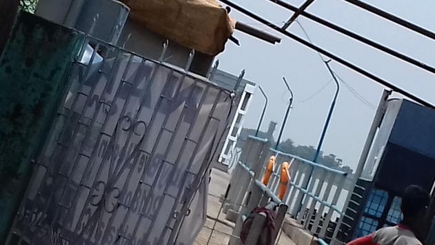
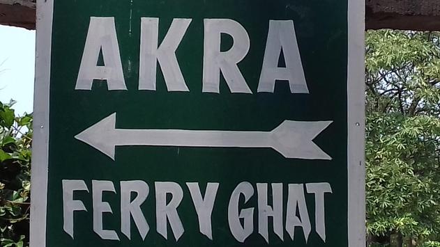
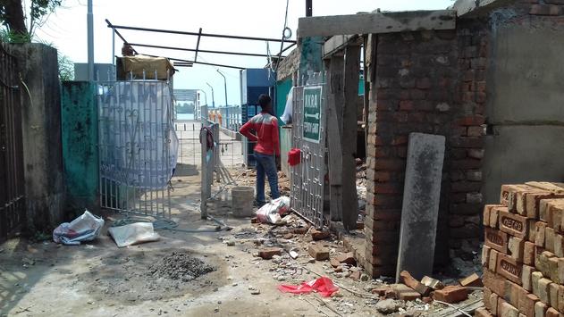
**** This is a Ferry service (Boat) Between To District. People ho cross Ganga River this time table helps them to know time of boats. And it also helps them hat is the last boat/ferry can
travel they or not. A total time table the can get from here.
*** what is the tide time ?
when then can`t cross river because of low tide.
**Update its soon Available in Play store.
About something from history of Ferry service from the world --
The profession of the ferryman is embodied in Greek mythology in Charon, the boatman who transported souls across the River Styx to the Underworld.
Speculation that a pair of oxen propelled a ship having a water wheel can be found in 4th century Roman literature "Anonymus De Rebus Bellicis". Though impractical, there is no reason why it could not work and such a ferry, modified by using horses, was used in Lake Champlain in 19th-century America. See "When Horses Walked on Water: Horse-Powered Ferries in Nineteenth-Century America" (Smithsonian Institution Press; Kevin Crisman, co-authored with Arthur Cohn, Executive Director of the Lake Champlain Maritime Museum).
The District Of The 24 Parganas lies between 22° 57' 32" and 21° 55' 20" north latitude, and 88° 20' 51" and 88° 6' 45" east longitude. It contains a total area, as returned by the Surveyor-General in 1871, of 2536 square miles, exclusive of the Sundarbans, but inclusive of the area of Calcutta, which is 7•80 square miles, and of its suburbs, which amount to 23•17 square miles. The population of the District, according to the Census of 1872, which takes the area at 2788 square miles, is 2,210,047 souls, exclusive of the town of Calcutta, but inclusive of its suburbs. Calcutta contains an additional population returned at 447,601 souls. The Census of 1872 cannot, however, be accepted as accurate for the city, and has been condemned. It is the chief town; but the Administrative Headquarters of the District are at Alípur, a southern suburb of Calcutta.
The District as at present constituted is bounded on the north by the Districts of Nadiyá and Jessor; on the east by Jessor, from which it is separated by the Kabadak River, which, after receiving various streams and deltaic branches of the Ganges, takes the following names in its lower course through the Sundarbans, viz. the Arpángási, Bara Pángá, Namgad Samudra, and finally, near the sea, the Málanchá. On the south, the District is bounded by the Bay of Bengal, and on the west by the Húglí River. With the exception of the northern boundary, therefore, the District limits follow the natural ones laid down by watercourses and the sea. In the north-west, the boundary passes for a short distance along the Bágher Khál, the mouth of which lies opposite to Bánsbáriá, a place between the town of Húglí and Tribení Ghát, on the west bank of the Húglí River. After this, the northern boundary passes eastward along old village boundaries, crosses the Jamuná River at Baliáni, and passes on to the bend of the Betná River, whence the boundary extends along the south of Jessor District as far as the Kabadak. Although the southern geographical boundary of the District is the Bay of Bengal, the area in miles given above does not include the Sundarbans, a great part of which is unsurveyed waste land, covered with swamp and forest, and almost uninhabited. I shall give an account of the Sundarbans at the end of this volume, as they are under a special administration. They form the seaboard of the three Districts of the 24 Parganás, Jessor, and Bákarganj.
Ferry Time Table without add
9Apps 4.9